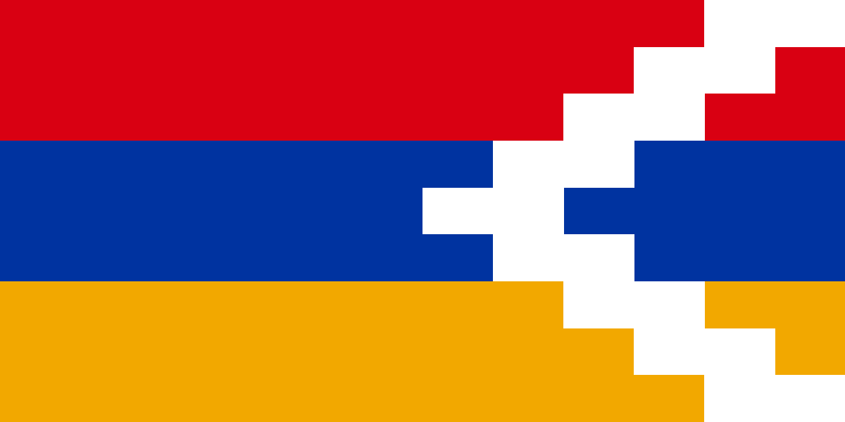
Complete travel intelligence for Nagorno Karabakh — covering electrical plug types (Type A–O), voltage & frequency standards, emergency phone numbers, driving side, international dialing code, internet domain and key Human Development Index (HDI) indicators. A practical reference for corporate travellers, expatriates, supply chain professionals, electronics importers, logistics coordinators and international business professionals planning operations in Nagorno Karabakh.
Why This Data Matters: Packing the wrong plug adapter or voltage converter can permanently damage equipment worth thousands of dollars. Calling the wrong emergency number costs critical response time. Not knowing which side of the road Nagorno Karabakh drives on creates road safety risks. HDI scores, GDP per capita, life expectancy and literacy rates directly inform market entry decisions, workforce planning, investment risk assessment and strategic decision-making for businesses expanding into Nagorno Karabakh.
Quick Links: Overview | Map | Currency | Public Holidays | Languages | National Symbols | Nearby Countries
Straight-line (great-circle) distance from Nagorno Karabakh to the world's major travel hubs, with an estimated non-stop flight time for each route. Sorted nearest first — a quick reference for comparing route options, layover planning and rough journey budgeting before checking live fares.
✈ Flight times are estimates for a direct flight at typical cruise speed (~850 km/h) plus taxi and climb time; actual schedules, winds and routings will vary.
Operating schedule alignment for Nagorno Karabakh is set to Standard Time with a current offset of UTC +04:00. Running digital systems, booking flights or arranging conference calls with regional partners in Nagorno Karabakh requires syncing with local business hours to avoid logistics scheduling mismatches.
Knowing which languages are used in Nagorno Karabakh helps with signage, transport bookings, hiring local guides and emergency communication. English proficiency varies by region — learning a few greetings in the local language always earns goodwill.
🗣 Explore the complete language profile including regional languages and speaker statistics.
Aerial distance, direction bearings and direct links to travel standards guides for countries closest to Nagorno Karabakh. Used by international logistics managers and border-crossing planners to evaluate trade corridors, transit logistics and cross-border operations.
The closest of the New 7 Wonders to Nagorno Karabakh is the Petra (Jordan), about 1,496 km away. Straight-line distances from Nagorno Karabakh to all seven wonders, nearest first — a fun bucket-list planner with a full visiting guide for each monument.
🏛 Click any wonder for its full visiting guide — entrance fees, best time to visit, how to get there and travel tips. Or browse all 7 Wonders of the World.
| 📊 Quick Facts | |
|---|---|
| 👥 Population Rank | #196 of 249 |
| 🏙️ Population Density | 1,200,830.0 / km² |
| 🌊 Land / Water Split | 100.0% / 0.0% |
Corporate travellers and electronics importers must verify voltage compatibility and plug type before visiting or shipping devices to Nagorno Karabakh. Using a 110V device on a 230V supply permanently damages equipment. Pack a universal travel adapter and a step-down voltage converter when needed. Nagorno Karabakh's electrical infrastructure follows international IEC standards. Plug types range from Type A (North America) to Type G (UK) — the correct adapter eliminates power compatibility issues across all device categories.
Store Nagorno Karabakh's police, ambulance and fire brigade numbers in your phone before arrival. In urgent situations, dialling the wrong number costs critical response minutes. Many countries have adopted universal emergency numbers (112 or 911) while others maintain separate dedicated lines for each service. Expatriates, logistics teams and field workers operating in Nagorno Karabakh should brief staff on local emergency protocols as part of operational risk management and business continuity planning.
Roughly 35% of countries worldwide drive on the left — a direct result of British colonial infrastructure. Visitors and corporate fleet operators in Nagorno Karabakh must confirm the local driving side, road sign conventions, speed limits and International Driving Permit (IDP) requirements. Steering wheel position reflects road side — left-side driving countries use right-hand drive vehicles. Fleet managers dispatching vehicles across borders need this data for driver safety briefings and insurance compliance.
The HDI is a composite 0–1 score published annually by the UNDP, combining life expectancy at birth, mean years of schooling and gross national income per capita. Scores above 0.800 = Very High Development; 0.700–0.799 = High; 0.550–0.699 = Medium; below 0.550 = Low. Market analysts and strategic planners use HDI to evaluate workforce quality, consumer spending capacity and operational infrastructure maturity when assessing Nagorno Karabakh as a target market or investment destination.
Life expectancy reflects the quality of a country's healthcare infrastructure, nutrition standards and public health investment. For HR directors, workforce planners and expatriate managers, high life expectancy indicates a healthy, productive talent pool and lower employee health-risk exposure. Companies relocating staff to Nagorno Karabakh use this metric to benchmark health insurance premiums, medical evacuation policies and employee wellness programmes in line with international corporate standards.
GDP per capita and unemployment rate are two of the most reliable indicators for evaluating consumer market potential. High GDP per capita = stronger consumer purchasing power and premium pricing viability. High unemployment = lower labour costs but also reduced consumer spending. Combine these with literacy rate data and local currency data to build a complete picture for talent acquisition strategy, retail pricing models, franchise expansion feasibility and market entry risk assessment for Nagorno Karabakh.